HIKING
What we enjoy
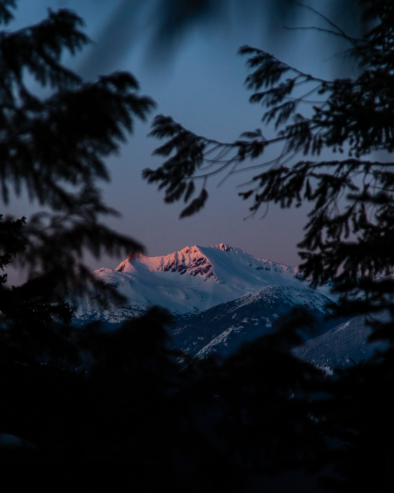
– The sunset lookout off Big Timber Trail
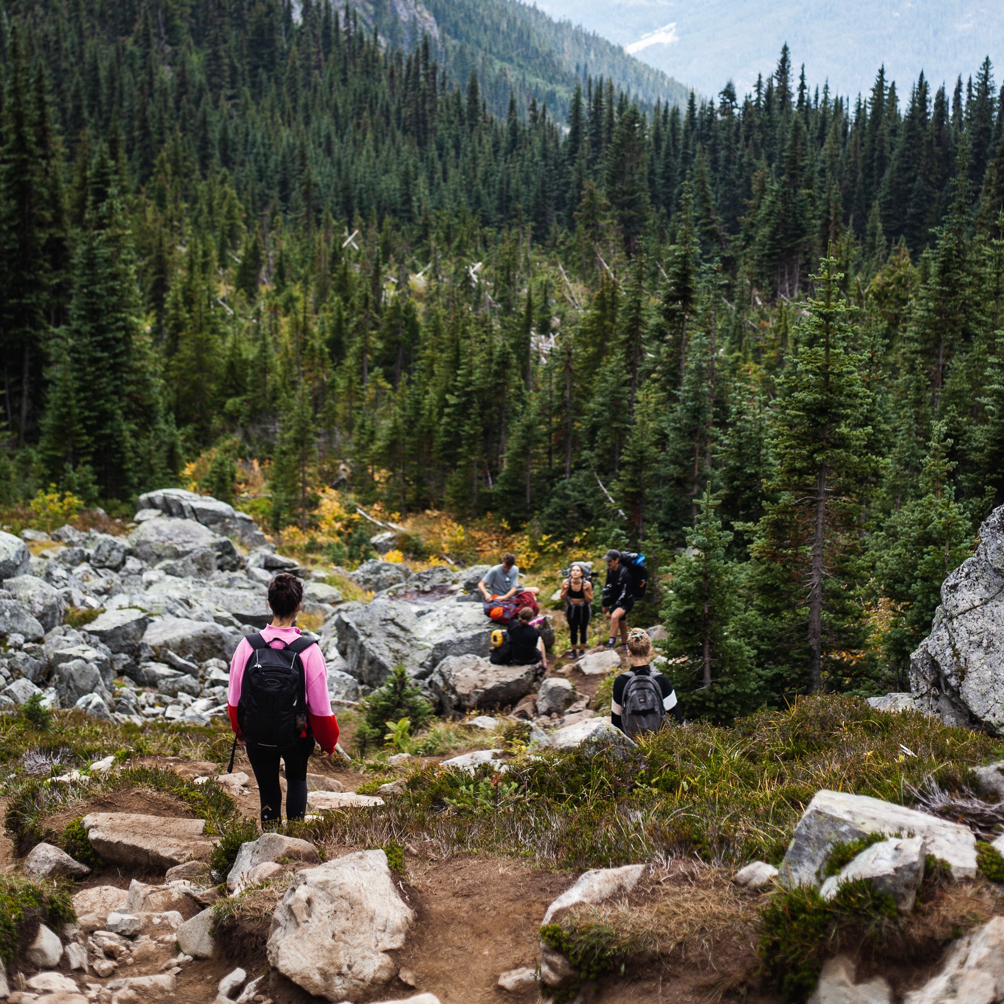
– Being in the nature while being physically challenged from the incline and of course the views along the way
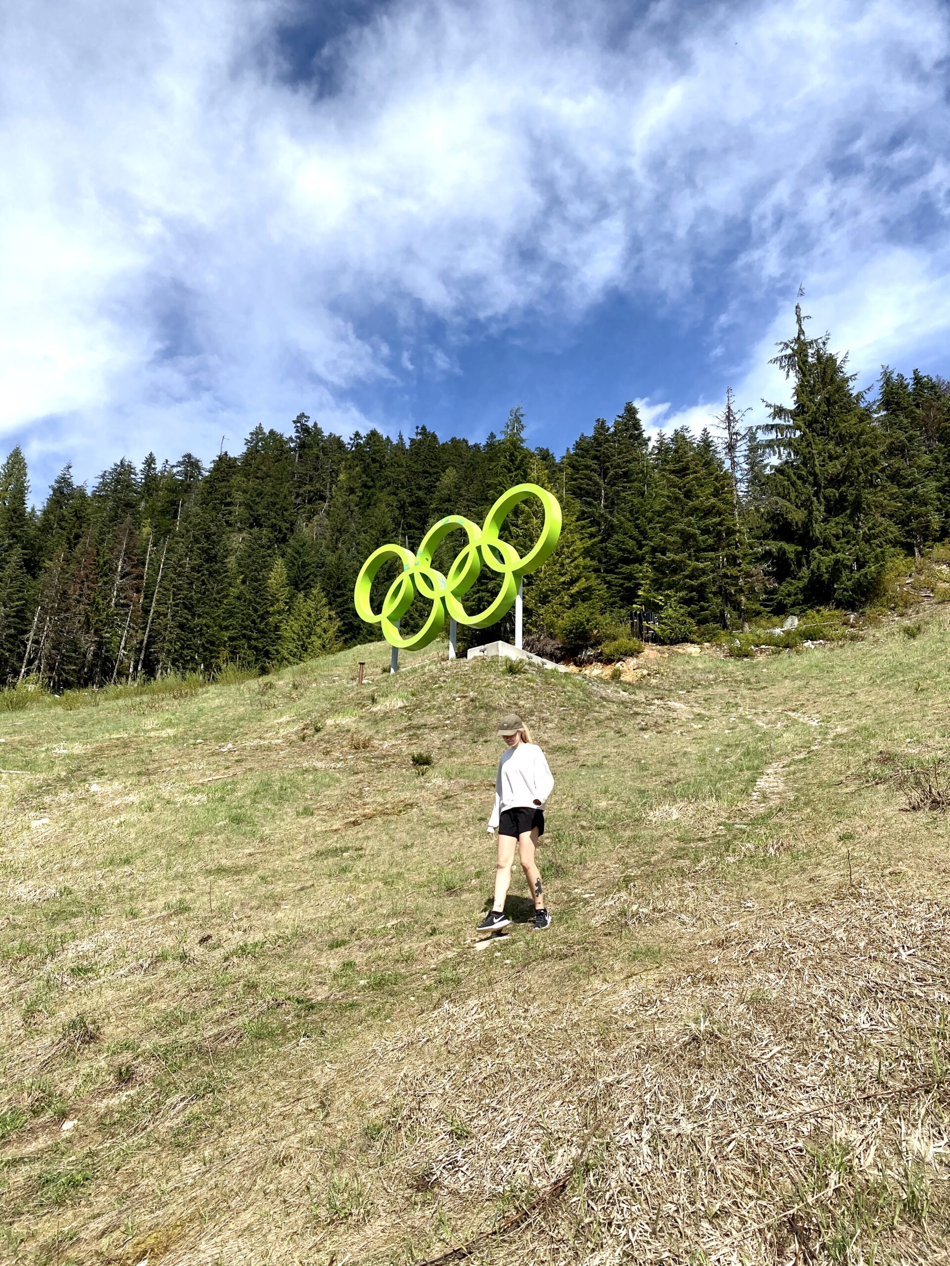
– The reward from reaching the Olympic Rings
– Park your car nearby at the free parking at Creekside Village or easily access the area by public transit from Whistler Village
The Scoop
Big Timber Trail through the Big Timber Park
Distance 2.8km
Elevation Gain 189m
Approximate Time 1.5hrs
The Big Timber Trail starts in Creekside Village and meanders up to the Big Timber Park. This park is a natural park and features several trails as well as two viewing platforms.
On the hike you will get beautiful views of Mt Currie, Mt Tricouni, Rainbow Mountain, Nita Lake, Alpha Lake and Alta Lake. There are two options for this hike, either take the single track both up and back down or for a gentler decent take the access road back down to Creekside Village.
To start this trail hike from the base of Whistler Mountain at Creekside Village by Dusty’s. Walk up on the left side of the ski run by the creek until you see a wooden bridge on your left. From there look right across the ski run to see Tower #2 of the Creekside Gondola. The Big Timber Trail begins just by there. The winding trail will take you through a small section of forest then across another ski run. It continues again in the forest up to Big Timber Park.
Hike up to the Olympic Rings
Distance 2.2km Loop
Elevation Gain 240m
Approximate Time 1hr
A short but challenging 1-hour round trip hike up to the Green Olympic Rings on the Dave Murray Downhill ski run in Whistler Creekside. These Olympic Rings are the legacy of the alpine ski racing events during the 2010 Winter Olympic Games. They are located at the finish line of the men’s and women’s downhill, slalom, giant slalom and Super-G racing events.
To start this trail hike from the base of Whistler Mountain at Creekside Village by Dusty’s. Walk up on the left side of the ski run by the creek and continue up the ski run towards the timing flats. From there you will see your end goal, the Olympic Rings. It will take approximately 25 minutes to hike up to the rings, you’ll want to spend a good 15 minutes if not longer at rings taking pictures and relaxing, then another 20 minutes back down to Creekside.
As you gain elevation the view of Creekside just gets better and better. You’ll get an overview and greater understanding of Whistler Creekside as a whole. Including Nita and Alpha Lakes, Sproatt Mountain across the Valley and Creekside Village.
This little accessible hike will get your heart rate up and make you feel spectacular when done. Don’t forget to bring some water and your camera!
Northwest Passage Loop
Distance 8.2km
Elevation Gain 276m
Approximate Time 3.5hrs
This loop starts at Creekside Village and takes the Northwest Passage to Brio, crosses the highway and returns via the Valley Trail.
To start this trail hike from the base of Whistler Mountain at Creekside Village by Dusty’s. Walk up on the left side of the Lower Dave Murray ski run by the creek, you see a wooden bridge on your left. Continue up from there and find where the creek runs under the ski run. Follow the dirt road on your left, avoiding two intersecting dirt roads, and continue walking until you reach the paved road at Nordic Way. From there walk uphill towards the At Nature’s Door condominiums, enter the gate and follow the gravel road on the left. Continue uphill to a viewing platform, join back in with the Lower Dave Murray, walk uphill and then turn left onto an overgrown road which is the Northwest Passage and follow it under a small cliff.
The Northwest Passage traverses along Whistler Mountain before steadily descending. At the end of the trail you will cross over a bridge. Immediately after crossing the small creek, look for a single trail heading into the forest on your left. At this point, leave the Northwest Passage and take the single trail into the forest. Once on the single trail, stay right at a junction of trails and follow it to the paved road, Panorama Ridge, in the subdivision of Brio. Turn right onto Panorama Ridge, followed by a left onto Arbutus Drive and a right onto Brio Entrance. Follow Brio Entrance to Highway 99. Walk south along the shoulder of Highway 99 for a short distance to the traffic lights at Blueberry Drive and cross the highway at the crosswalk. After crossing the highway, join the Valley Trail and follow it back to Creekside Village.
Safety Considerations
On these hikes, there is a very high probability of seeing a bear if you do see one remember to be bear smart, respect all wildlife by keeping your distance. Never approach a bear! When you enter a bear’s personal space, you force it to flee or defend itself. For more bear smart tips visit Bear Smart Whistler.
Watch out for bikers coming down the trails. Whistler Bike Park is very popular for advanced riders heading down to Creekside. You will hear the riders coming, so just step off the trail and ask if there are others coming down in their group.